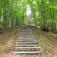


Mt. Fujisato-Komagatake: Kabadai Trailhead(藤里駒ヶ岳:樺岱登山口)
Mt. Fujisato-Komagatake: Kabadai Trailhead
Distance: 2.87 kilometers
Duration: 3 hours (one way)
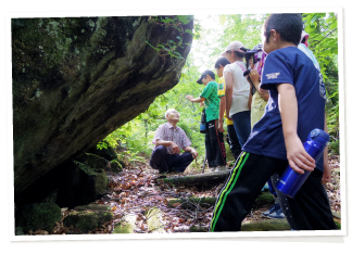
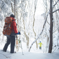
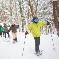
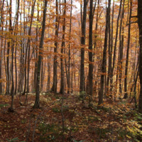
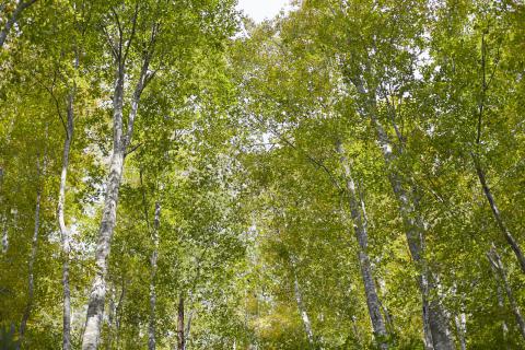
Kabadai Trail leads to the top of Mt. Fujisato-Komagatake (1,158 m). Renovated in 2018, it climbs over 500 meters along the mountain’s southern side, passing many large Japanese beeches. These beeches escaped logging because of their remote location. About 1,000 meters from the trailhead, the trail goes through Bunadaira, a relatively flat area filled with old beeches.
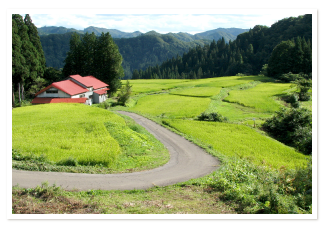
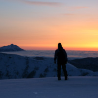
Mt. Fujisato-Komagatake has been worshipped by the people of Fujisato since ancient times. In spring, the farmers who live in the foothills wait to plant their crops until the melted snow looks like a horse running on the side of the mountain.
While Mt. Fujisato-Komagatake is not part of the Shirakami Sanchi World Heritage Site, it is part of the historical area that was called Shirakami Sanchi. As animals often come out of the mountains to feed on plants that grow along the trail, hikers should be alert for Japanese macaques, wild boar, and Asian black bears.
Note: there are no toilets along the trail.
--------------------------------
日本語訳
藤里駒ヶ岳:樺岱登山口
行程:2.87キロメートル
所要時間:3時間(片道)
樺岱コースは、は、藤里駒ヶ岳(1,158 m)の山頂へと続いている。2018年に補修された道は、山の南側に沿って延びている500メートル以上の登り坂で、多くのブナの巨木の間を通る。これらのブナは奥地に植生しているために伐採を免れた。登山口から約1,000メートルのところに来ると、登山コースはブナダイラ、つまり「ブナの平地」として知られるエリアに続いている。ここは、ブナの老木がたくさん生えているなだらかな台地である。
藤里駒ヶ岳は昔から藤里の人々に崇拝されてきた。春になると、ふもとの丘陵地帯に住む農民たちは、溶けた雪が山腹を走る馬のように見えるようになるのを合図に農作業を始める。
藤里駒ケ岳は、世界遺産白神山地の一部ではなく、白神山地と名付けられた歴史的地域の一部である。登山コースに沿って生長する植物を食べようとして、動物が山から出てくることが多いため、登山者はニホンザルや野生のイノシシ、ツキノワグマに注意する必要がある。
注意:登山コースにトイレはない。