


The Tsurube-Otoshi Pass(釣瓶落峠)
.jpg/84%E3%80%8C%E9%8C%A6%E7%A7%8B%E3%81%AE%E5%B3%A0%E3%80%8D%E7%B1%B3%E6%A3%AE%E7%94%B1%E4%B8%B8%20(2)__456x320.jpg)
The Tsurube-Otoshi Pass
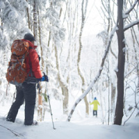
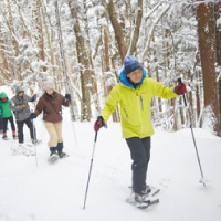
The Tsurube-Otoshi Pass straddles the border between Aomori and Akita prefectures. Its name, which means “well-bucket drop,” refers to the sheer 200-meter-high cliffs that travelers had to cross before the construction of Tsurube Tunnel.
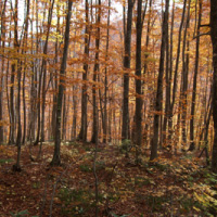
From the pass, the view reveals two distinct landscapes: on the east-facing sides of each gorge, greater exposure to sunlight has led to more snowmelt, which in turn has eroded the mountain’s slopes and exposed white ridges of tuff, a volcanic rock that underlies the hillside. On the opposite sides, where there is more shade, the snow melts slowly and more plants are able to take root. The slopes nourish deciduous shrubs mingled with stands of conifers, mostly Sawara cypress (Chamaecyparis pisifera) and Japanese cedar (Cryptomeria japonica). The warm colors of the deciduous shrubs contrasted with the green conifers have made the pass a well-known spot for viewing autumn foliage.
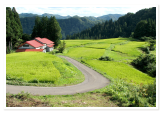
At the base of the gorge, an old mining road runs along the Fujikoto River. This is a remnant of historic Daira Mine, a copper mine that operated from the seventeenth century until 1958. Most traffic through the Tsurube-Otoshi Pass involved the transport of goods to and from the mine, and in the early twentieth century, the settlement around the mine housed over nine hundred people.
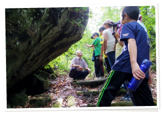
Another point of historical interest occurred during the upheaval at the start of the Meiji era, in 1868. As the border between the quarreling provinces of Tsugaru (now Aomori) and Kubota (now Akita), the pass was a vulnerable entry point. Knowing this, Kubota province stationed a few matagi hunters here, whose task it was to keep numerous torches lit—making it appear that the pass was heavily guarded.
--------------------------------
日本語訳
釣瓶落峠
釣瓶落峠は、青森県と秋田県の県境にまたがっている。その名前は「釣瓶落とし」を意味し、釣瓶トンネルが建設されるまで、そこを渡る旅人が越えなければならなかった200mの険しい崖を指す。
峠からは2つの異なる風景が見える。それぞれの峡谷の東側では、日光にさらされるにつれて雪解けが進み、山の斜面が次々に侵食され、丘の中腹に横たわる火山岩である凝灰岩の白い尾根がむき出しになる。反対側では、日陰が多く、雪はゆっくりと解け、より多くの植物が根を張ることができる。斜面には、針葉樹林に混じって落葉低木が生えており、それらは主にサワラヒノキやスギである。緑の針葉樹と対照的な落葉低木の暖色により、この峠は有名な秋の紅葉スポットになった。
峡谷のふもとには、藤琴川に沿って古い鉱山道が伸びている。これは、17世紀から1958年まで操業していた歴史ある銅山、太良鉱山の跡地である。釣瓶落峠を通る交通の大部分は、鉱山への物資の往来に関連しており、20世紀初頭には、この集落に 900人以上が暮らしていた。
他の歴史的に重要な事柄は、明治時代が始まった1868年、この社会の激変の折に起こった。この峠は、不和の仲であった津軽藩(現在の青森)と久保田藩(現在の秋田)の藩境としては脆弱であった。これを知った久保田藩は、ここに地元のマタギを数名配置した。その任務はたくさんの松明をたき続けることであったが、それは、峠が厳重に見張られているように見せるかけるためであった。